Taquito
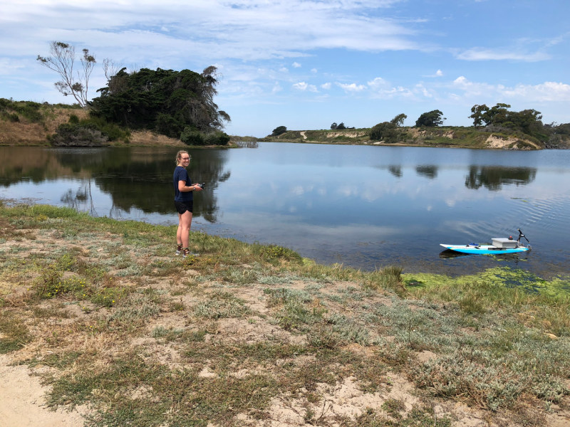
Taquito is an autonomous stand-up paddleboard that is being developed as a surface-level drone for coastal oceanography. Taquito is armed with a autopilot unit (similar to the aerial drones), and currently carries an acoustic Doppler current profiler (ADCP). The board can be modified to carry almost any sensor or instrument cluster. This most recent range test proved its seaworthiness up to a mile from shore. Next, we hope to deploy Taquito in the kelp forest at Mohawk Reef near the Santa Barbara Mesa to create a map of the current in the area. The current profiles from Taquito are then sent to NOAA and used for search and rescue, oil spill response, and environmental research.

Signal Sources
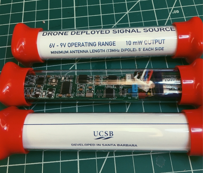
Version 3.0 of the drone-deployed signal sources are done! Nine boards have been built, soldered, programmed, and packaged. These are used to calibrate high-frequency radars along the Central Coast that monitor the surface currents. This version is lighter and cheaper than the previous version and no longer requires custom 3D printed parts. These will be distributed to labs at other universities hoping to perform low-cost antenna patterns.